I don’t know why it took me so many years to get out on this trail. Actually, I do: I usually only do hikes with serious elevation gain, and the only reason I ended up out on this trail was to go trail running with a friend. It’s a pretty nice trail for that purpose, as any incline is fairly gradual. It’s about 3 miles round trip and less than 700’ elevation gain, although, I suggest going a little further, as this is not the only route on Alltrails in Seward that stops short of some amazing scenery (WHY).
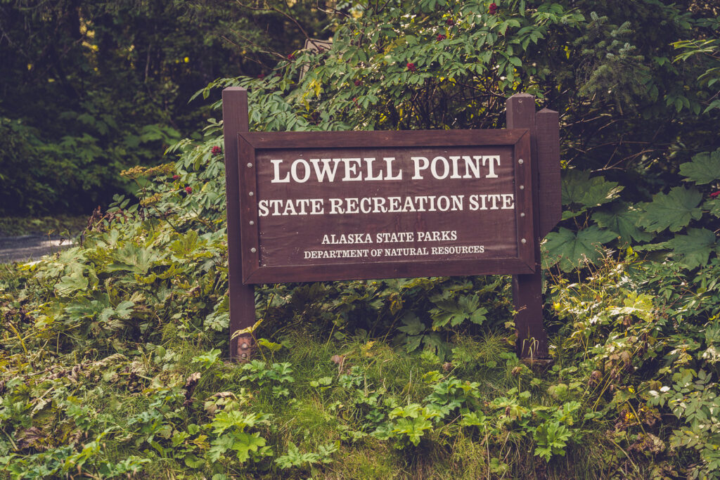
To get to the trail head, take a right on Pinnacle View Rd, and then, the next right to the Lowell Point State Recreational site (parking is $5). You can get the route on Alltrails. It starts on the same trail as Cain’s Head, which is another option, if you’re looking to do an over-nighter (you have to walk along the beach for Cain’s Head and have to time the tides).
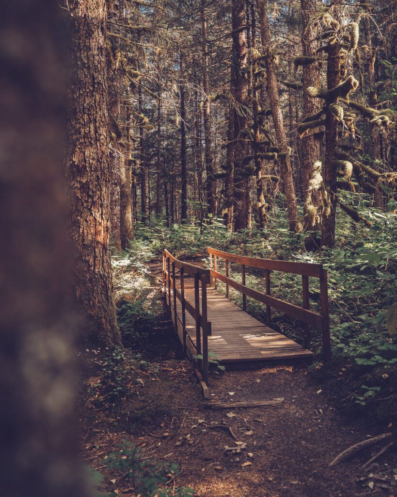
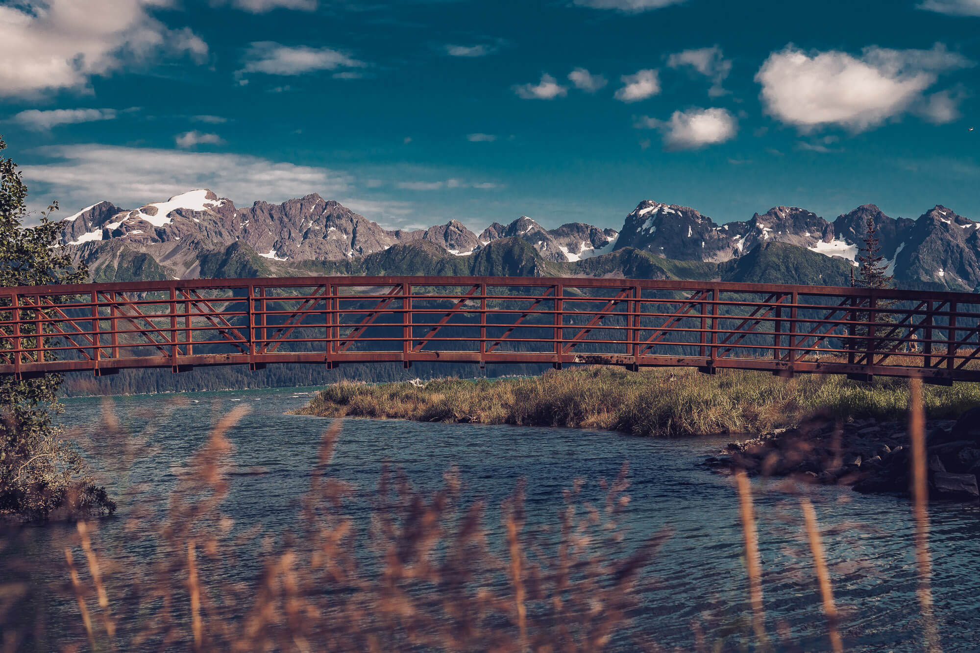
The trail winds through the woods and near the cliffs above the water. At times, you can look through the trees and see the mountains across the bay. At the end of the official Alltrails route, you get to a bridge near the mouth of the creek that feeds into the bay. There’s a break in the trees and you get a great view of Resurrection Bay and the mountains.
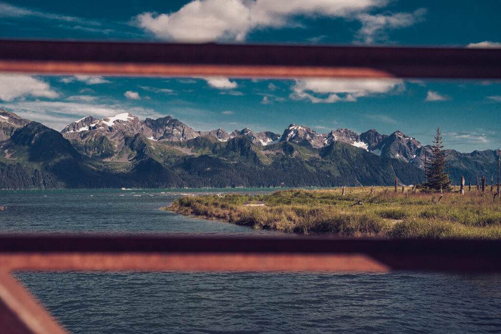
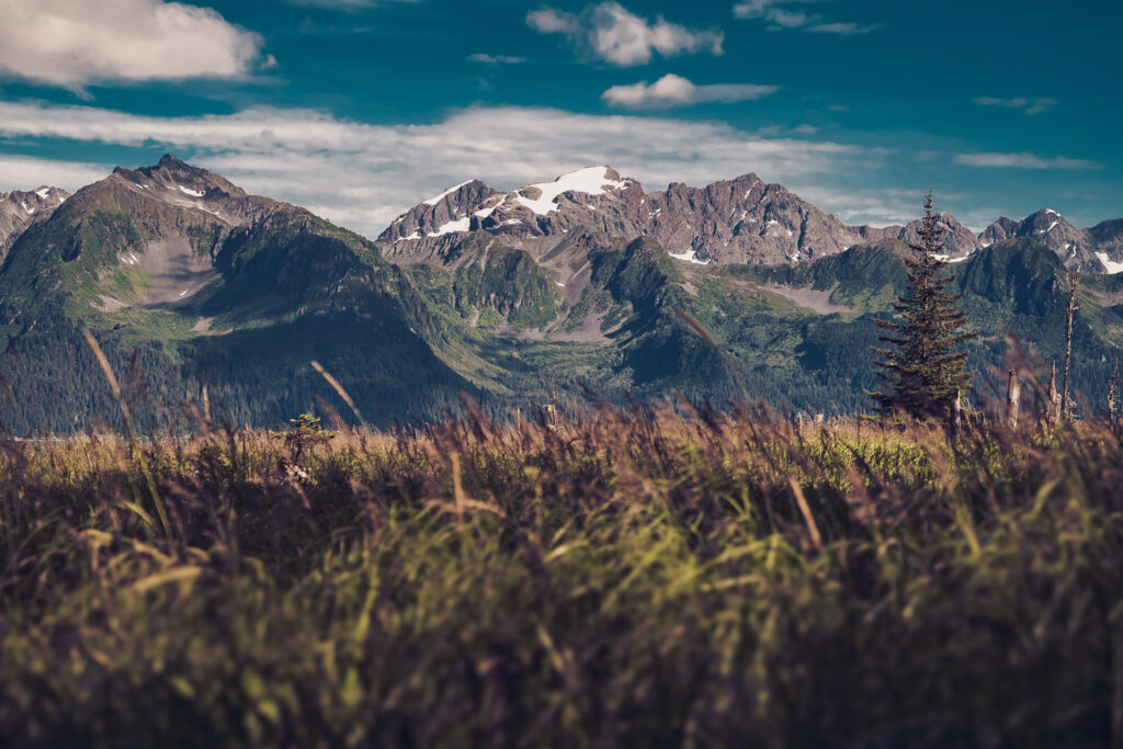
Cross the bridge into a magical forest
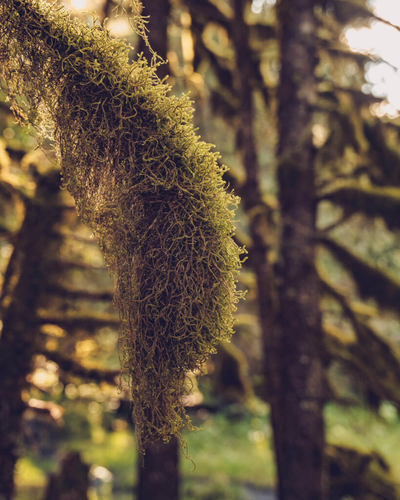
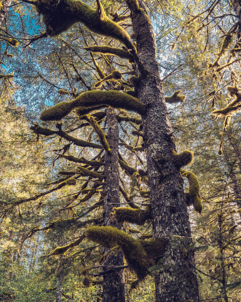
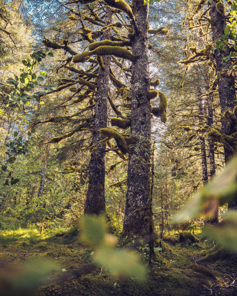
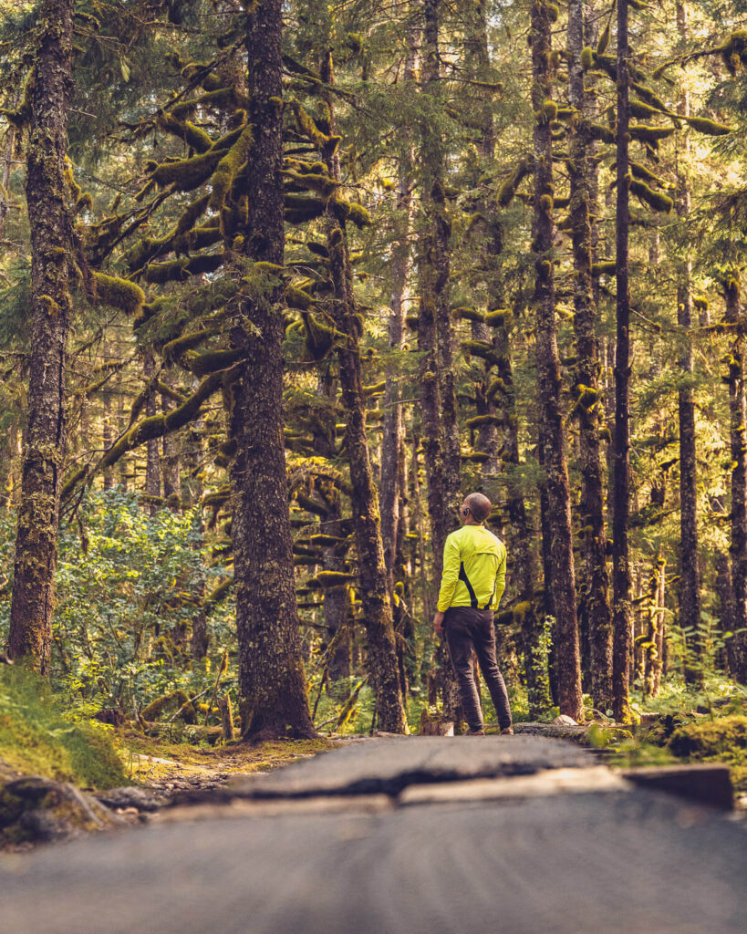
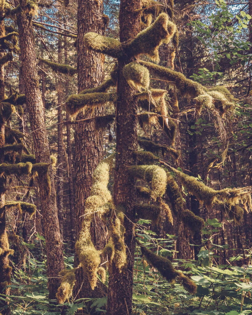
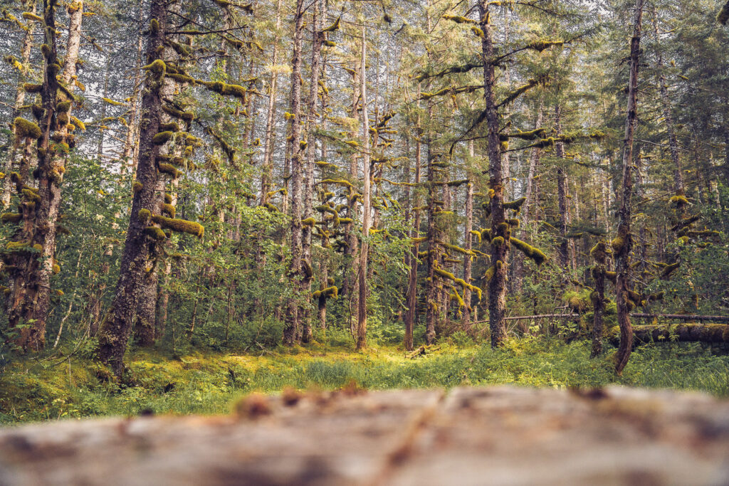
For whatever reason, the route on Alltrails ends at the bridge, but you’d seriously be missing out if you didn’t continue on. Once over the bridge, you can wander down the trail, through a mossy forest. This place looks truly magical when the sun is peaking through the trees.
Head Out to the Beach
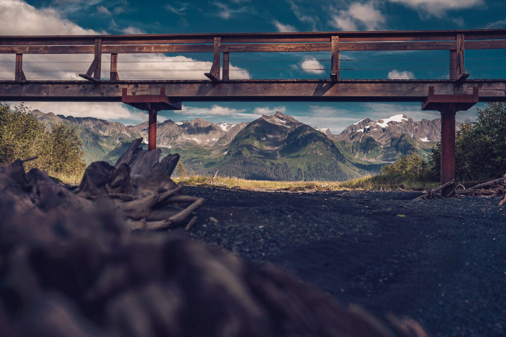
After about a quarter of a mile, there’s a trail that will take you out to the beach for another view of the mountains. If you end up at the second bridge, you’ve missed the trail to the beach, but the bridge is worth checking out as well. I’ve taken the beach route back to the first bridge, but the last time I was there, that section was closed off, so take a look at the first bridge before you plan on taking that route back. But if you’re not ready to turn around, you can wander as far as you like. It’s a great area for a trail run or short hike.
LEAVE A COMMENT
Comments